Serving Those Who Serve Us
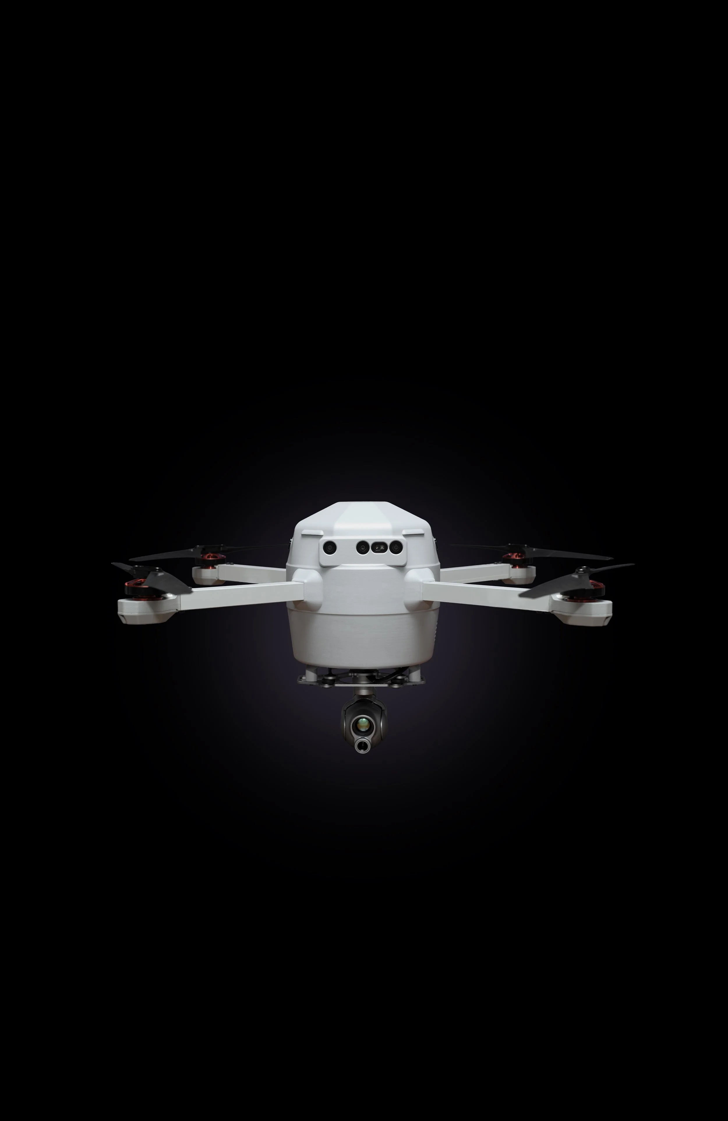
The next generation of intelligent drone technology
Manufactured in Detroit
NDAA-compliant, FAA-approved autonomous drone systems.
-
New national security regulations restrict the use of foreign-made drones in U.S. airspace, reflecting a growing consensus that critical systems should be built on trusted supply chains. Birdstop is built for this moment, operating with a fully vetted, national-security-approved manufacturing stack from the ground up.
America leads the world in autonomy software, yet produces less than 1% of the world’s drones. As drones shape modern conflict abroad and save lives at home, rebuilding domestic manufacturing is no longer optional.
-
The Federal Aviation Administration’s forthcoming Part 108 represents a fundamental revamp of American aviation law, bringing autonomous drone operations into the national airspace at scale.
Birdstop has worked closely with the FAA, contributing real-world operational data and developing a patented detect-and-avoid system using optical and acoustic airspace monitoring to enable safe beyond visual line of sight flight. Birdstop holds 9 of the most advanced FAA approvals ever granted, placing the company at the forefront of autonomous aviation as this new generation of law comes into effect.
-
Standing on the shoulders of Detroit’s manufacturing heritage, Birdstop is rewriting the story of domestic drone production. The United States produces more than 10 million automobiles each year - complex systems of hardware and software not unlike today’s drones.
Domestic drone manufacturing has never reached meaningful scale, leaving American-made drones expensive and slow to produce. Birdstop applies the manufacturing discipline of the American auto industry in Detroit to build reliable, repeatable systems at scale.